 vesseltracker.com
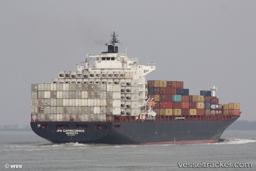
Vessel GH LEVANT IMO: 9295414, MMSI: 538008593
UTC, 12.10667, 132.25693, course: 328, speed: 13.5
UTC, 12.47360, 131.98312, course: 329, speed: 14
2026-02-09 16:13:52 UTC, 12.47360, 131.98312, course: 329, speed: 14
Live AIS position:
UTC. 338 nm NW of Melekeok),
updated 2026-02-09 16:13:52 UTC.
Find the position of the vessel GH LEVANT on the map. The latter are known coordinates and path.
marine traffic ship tracker show on live map
The current position of vessel GH LEVANT is 12.47360 lat / 131.98312 lng. Updated: 2026-02-09 16:13:52 UTCDetails:
Last coordinates of the vessel:
UTC, 11.45232, 132.74879, course: 328, speed: 15.1UTC, 12.10667, 132.25693, course: 328, speed: 13.5
UTC, 12.47360, 131.98312, course: 329, speed: 14
2026-02-09 16:13:52 UTC, 12.47360, 131.98312, course: 329, speed: 14